Mapping and the Nationalist Imagination
Workshop 3: Mapping and the Nationalist Imagination
Universidad de los Andes, Colombia, 25-27 August 2010
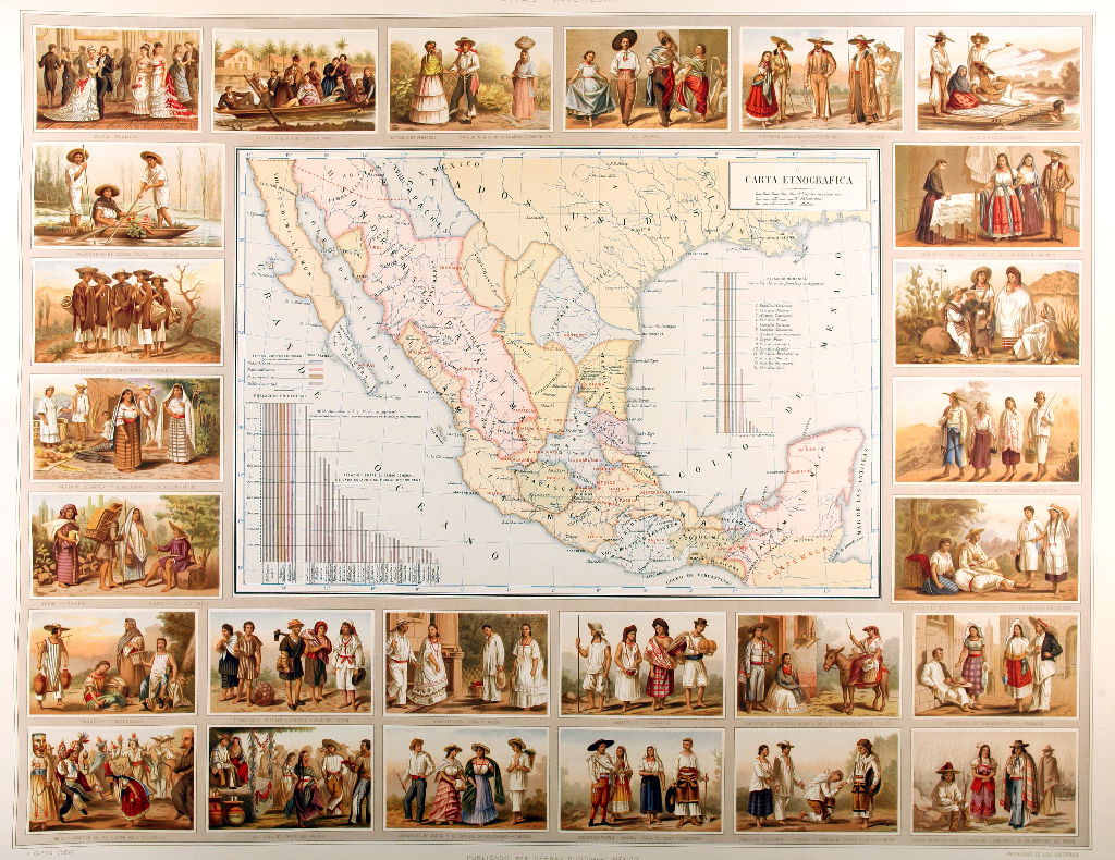
Workshop 3 will examine the importance of mapping and geographical exploration to the nationalist enterprise. As Benedict Anderson demonstrated in his celebrated Imagined Communities, one of the key attributes of nation-hood was a knowledge of the contours and qualities of the territory claimed as national. For this reason nineteenth-century Spanish American states not only sponsored scientific commissions dedicated to charting the nation’s physical geography but also hired mapmakers whose task was to produce accurate maps of the national territory. These endeavours generated a rich corpus of material that scholars have recently begun to disinter. All three workshops will be preceded by shared reading of an agreed corpus of texts, to provide a common basis for discussion.
The Universidad de los Andes
The Universidad de los Andes is one of Colombia’s leading universities. It has some 1,000 professors, 11,000 students and 40,000 graduates. The history degree was created ten years ago and the history masters program in 2003. Among its objectives is the promotion of international cooperation in all its activities. The proposed network will help the Universidad de los Andes increase its international presence by establishing links between its faculty and the other members of the network. These contacts will also facilitate discussions of future joint research, further cooperation at postgraduate and postdoctoral level and academic exchange. Moreover, network participants from Europe and the USA will be able to take advantage of the existing links between the Universidad de los Andes and the other academic institutions in Bogotá, such as the Biblioteca Luis Angel Arango, one of the major Colombian research libraries.